October: 100-year floods prompt drone visit at FLNHS
2017 A Year In Review
Crystal R. Albers
Posted 12/29/17
Last week, man and machine joined forces in an attempt to control an unprecedented, yet recurring natural disaster in rural Goshen County.
This item is available in full to subscribers.
Attention subscribers
To continue reading, you will need to either log in to your subscriber account, below, or purchase a new subscription.
Please log in to continue
Need an account?
Print subscribers
If you're a print subscriber, but do not yet have an online account, click here to create one.
Non-subscribers
Click here to see your options for becoming a subscriber.
October: 100-year floods prompt drone visit at FLNHS
2017 A Year In Review
Posted
Crystal R. Albers
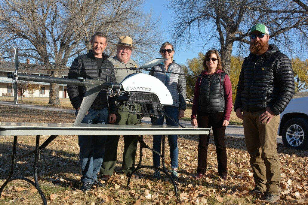
FORT LARAMIE – Last week, man and machine joined forces in an attempt to control an unprecedented, yet recurring natural disaster in rural Goshen County.
In 2015 and 2016, Fort Laramie National Historic Site (FLNHS) experienced the effects of a 100-year flood – an event that has a 1-percent (or 1 in 100) chance of occurring during any
given year.
Severe erosion along the Laramie River, closed and washed out park trails and roads, and potential damage to irreplaceable historic buildings prompted Superintendent Tom Baker to reach out for help.
“The park has experienced two 100-year flood events … and the superintendent called to say ‘Is this the new normal? I think what I need is some sort of river management plan,’” Don Weeks, physical resources program manager for the Intermountain Region of the National Park Service, said.
Nell Conti, also of the Intermountain Region (Geographic Resources Division), said part of the recommendation to begin flood management planning included collecting high-resolution, photogrammetric surveys, in addition to light detection and ranging (LiDAR) data – which uses eye-safe laser pulses to measure depth and provide an accurate, three-dimensional map of the area surveyed. For this, the team turned to Mark Bauer and Todd Burton of the U.S. Geological Survey’s (USGS) Unmanned Aircraft Systems Project Office.